Friday, October 16, 2015

SIPAKA Heights : soulful and scenic

The Lenten season is coming and many people would go to places to meditate, remember and repent for the sacrifices that Jesus Christ did to wash away our sins. In Cagayan de Oro City, one of the most favorite destination by many is in Malasag in Cugman, Cagayan de oro city in the province of Misamis Oriental. As thousands come and crowd the area because it can be easily accessed just beside the national highway  within the city. Another popular growing 
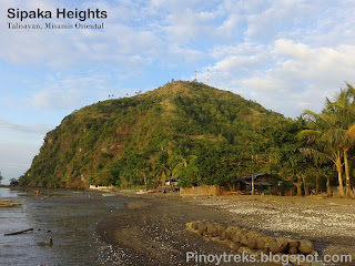
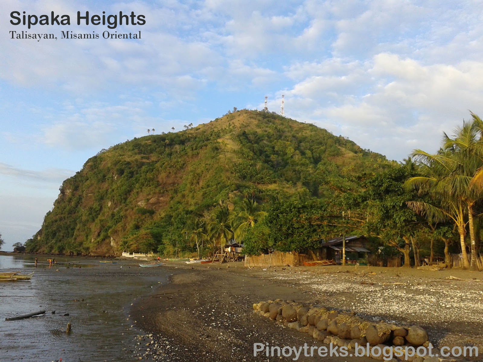
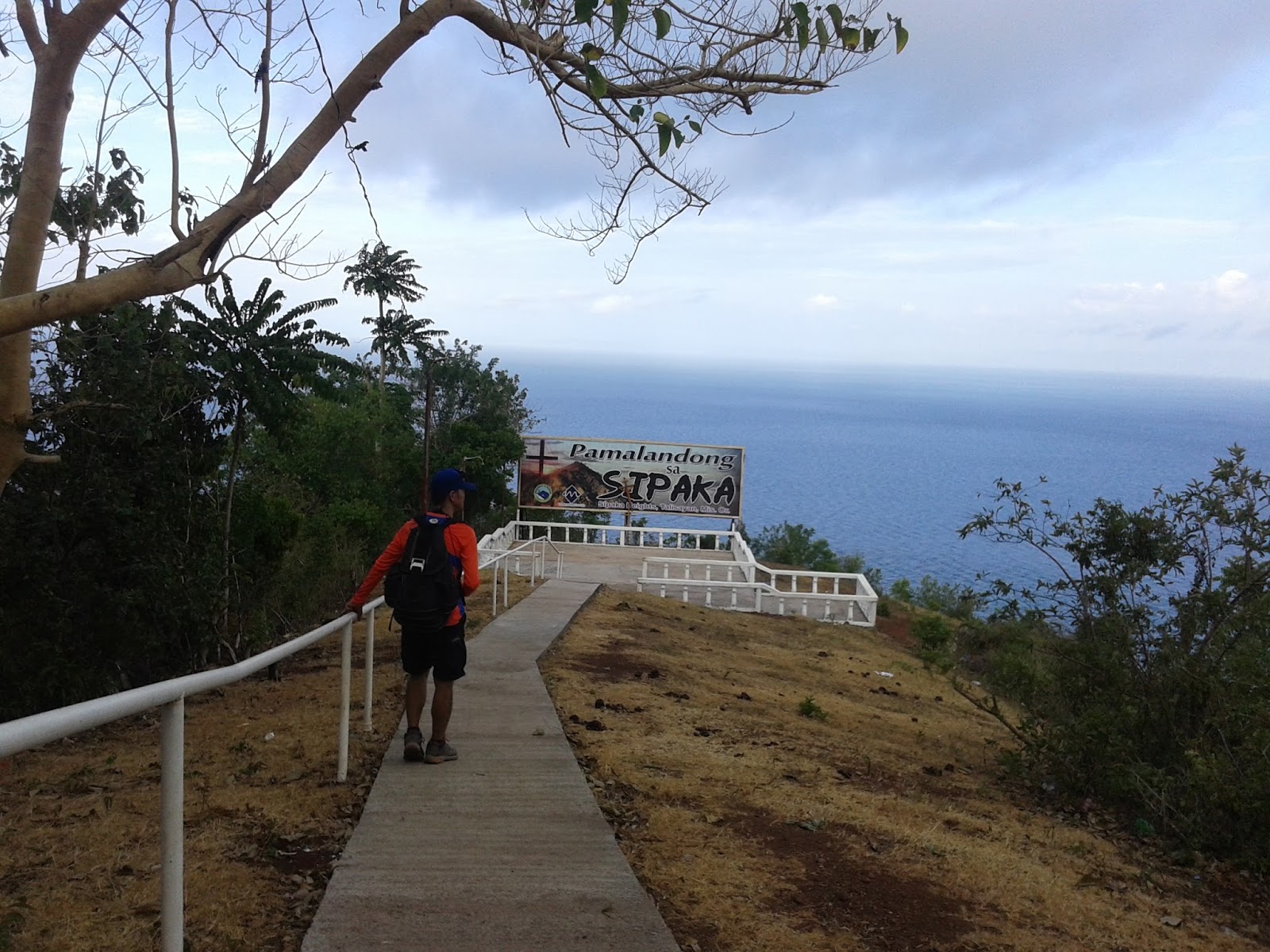
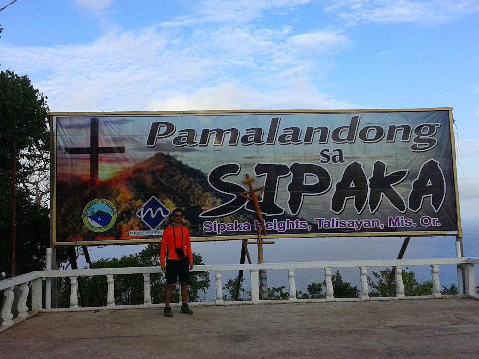
pilgrimage destination though is already taking a spot in Misamis Oriental;  Sipaka Heights in Talisayan, Misamis Oriental. Many names are given to it by some like Sipaka Island, Sipaka point,  etc…. Basically it is not an island because it is connected to land and it is not separated by water. Best way to describe 
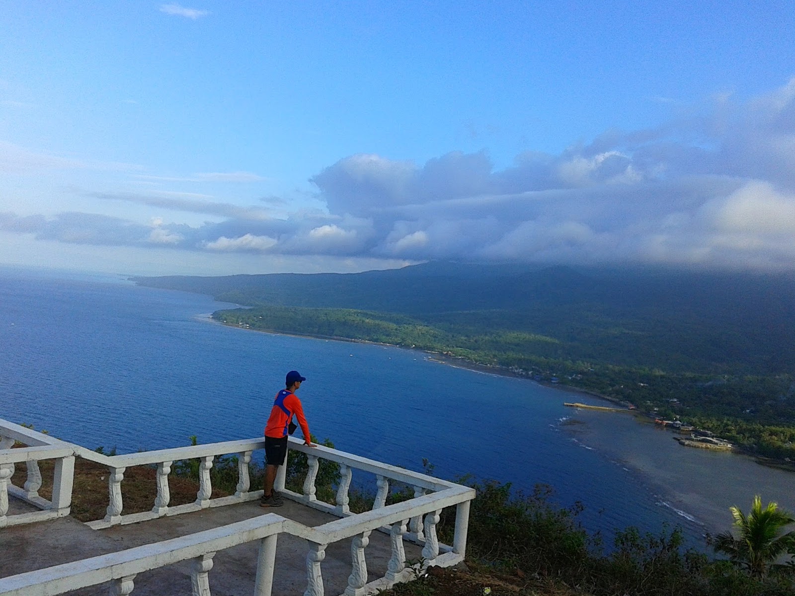
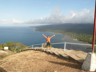
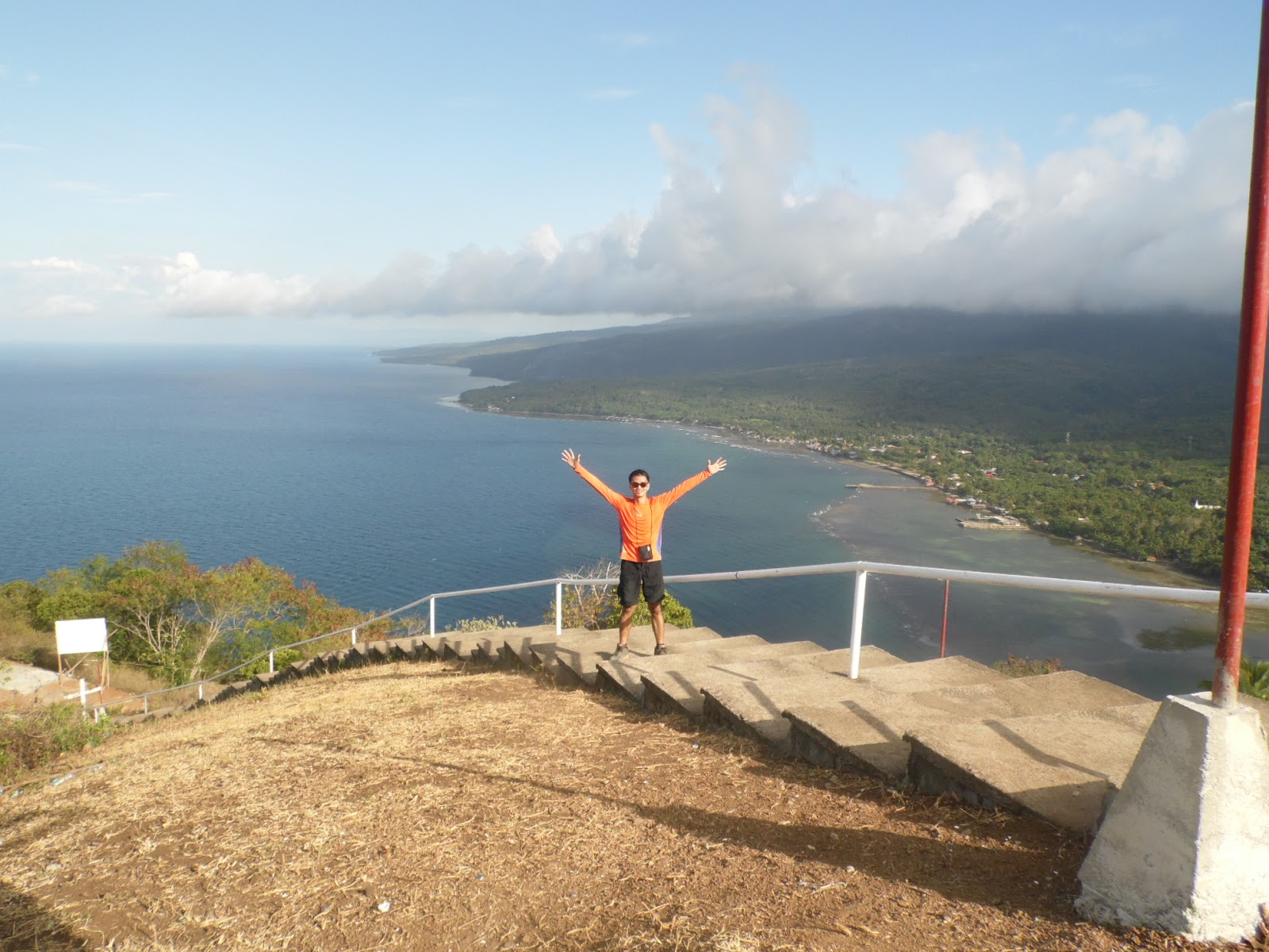
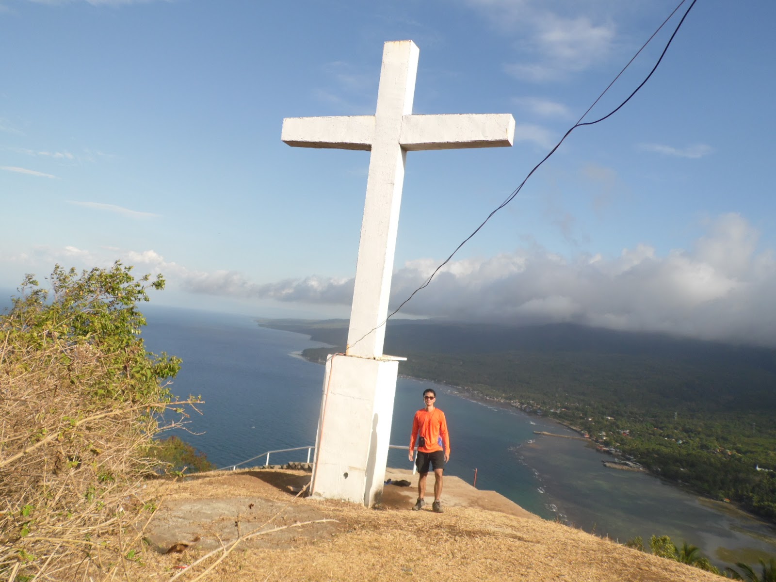
it is, it is a hill that extends to the sea. It has the good feature of a pilgrimage lamentation. While you are under the scorching sun on your way up, 
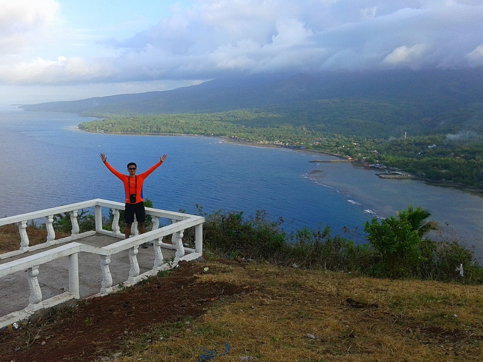
reaching to the top has its reward; the spectacular view of the sea, coastline, beaches and the mountains. It’s a 360 degrees view of the horizon in the area.


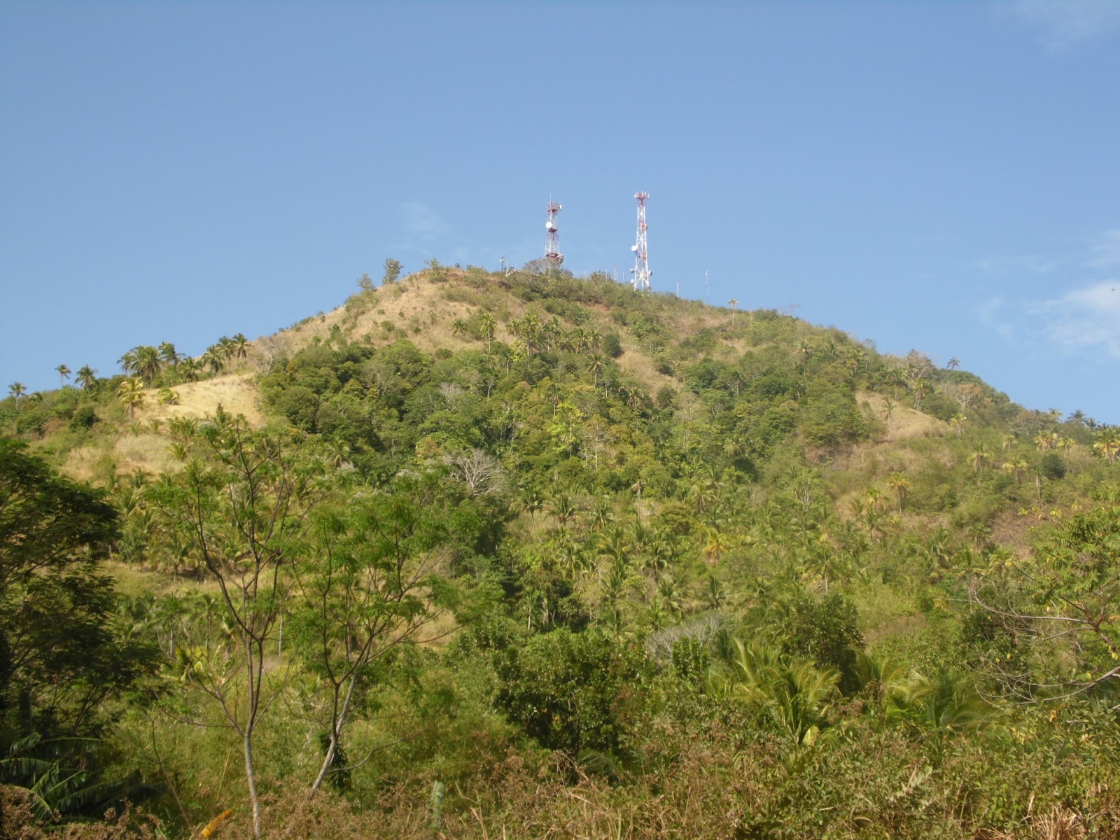
The telecommunications tower at the summit as seen from below

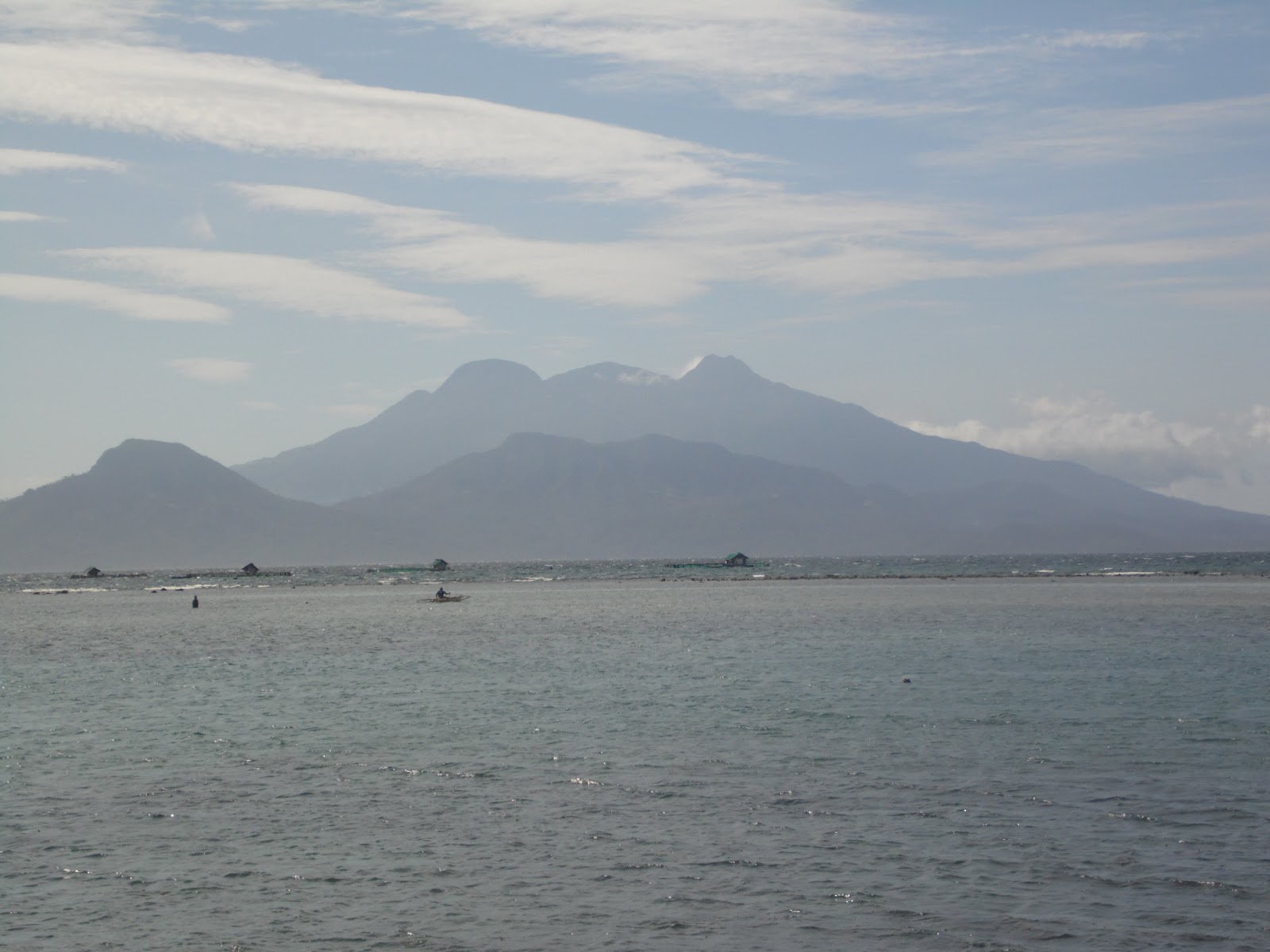
Sipaka heights is fronting Camiguin Island and it is very visible as viewed from the area.


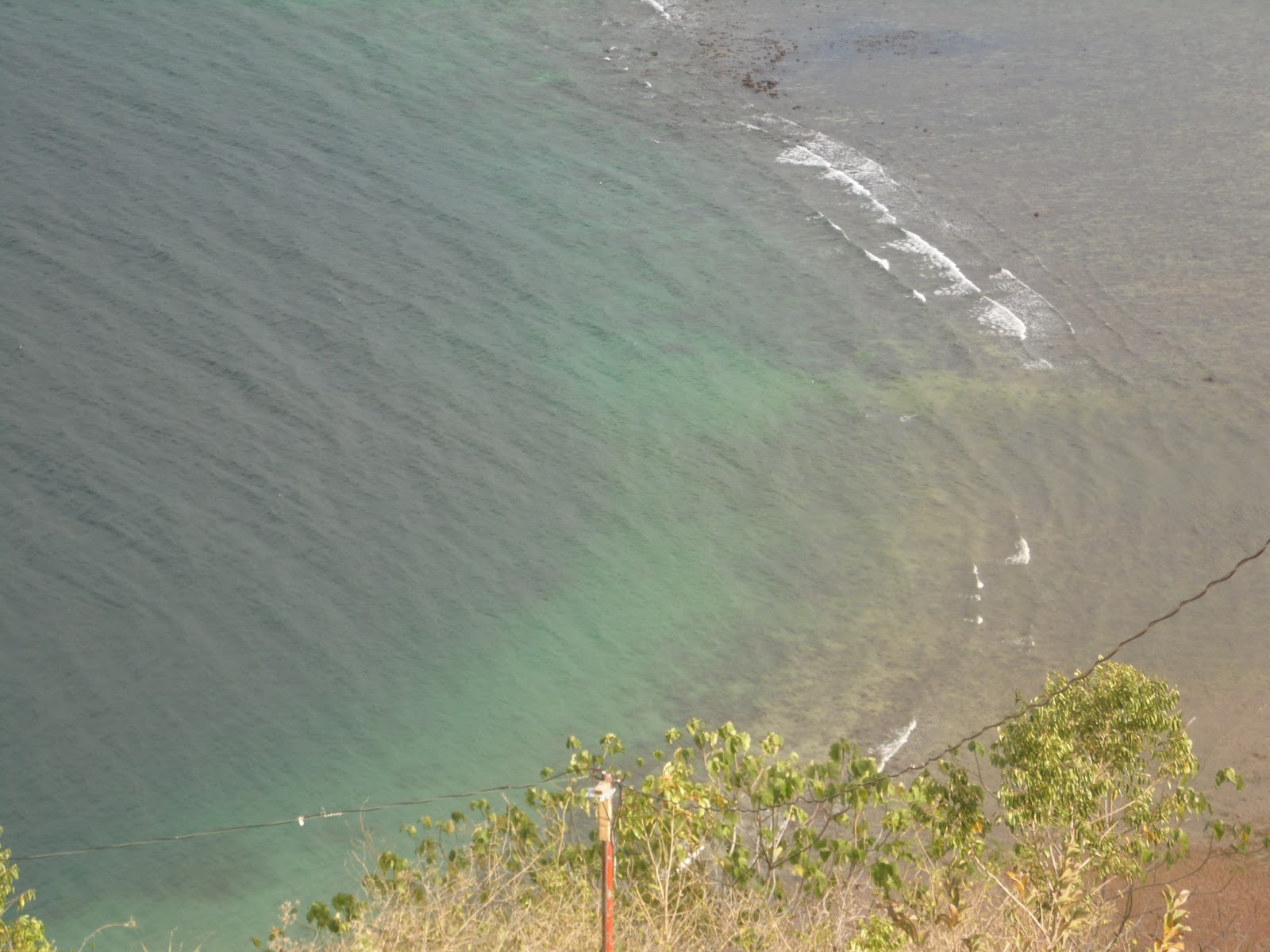
The reef where the partition of the shallow to the deep water is very visible


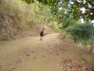
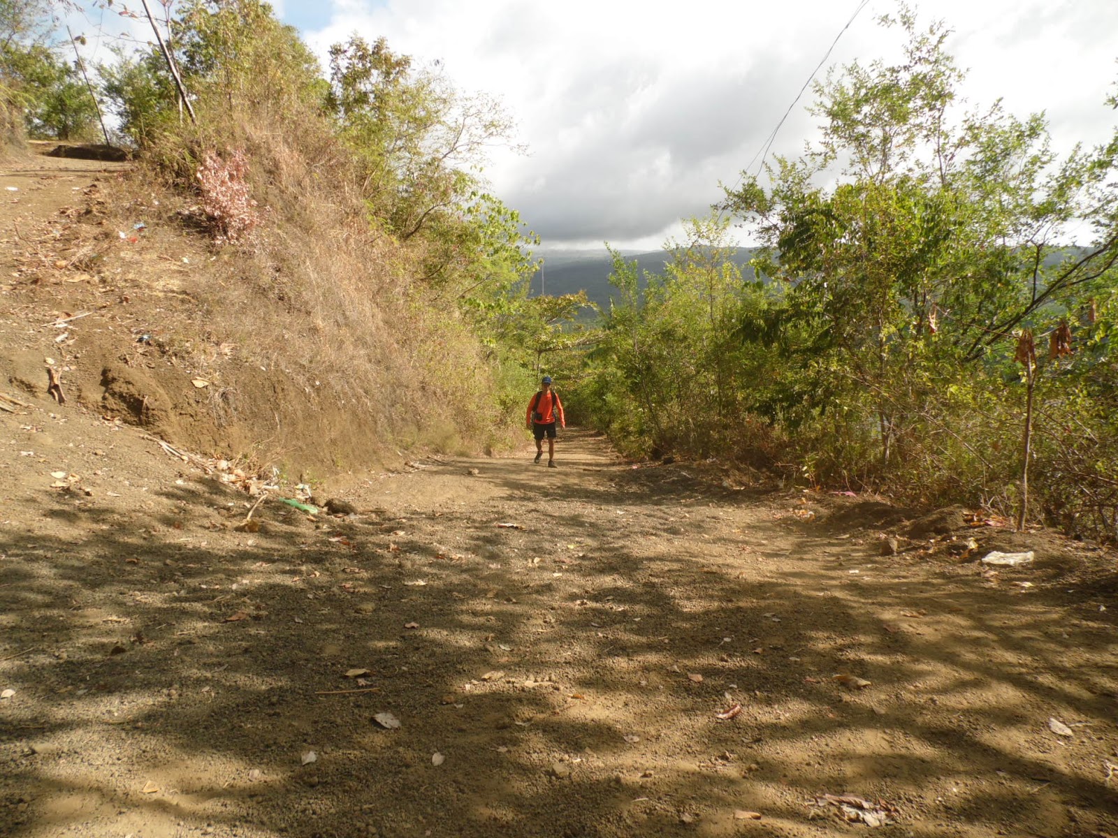
Even though the road is wide but it would reach over a thousand pilgrims come here during Lenten season so the road still gets very crowded.

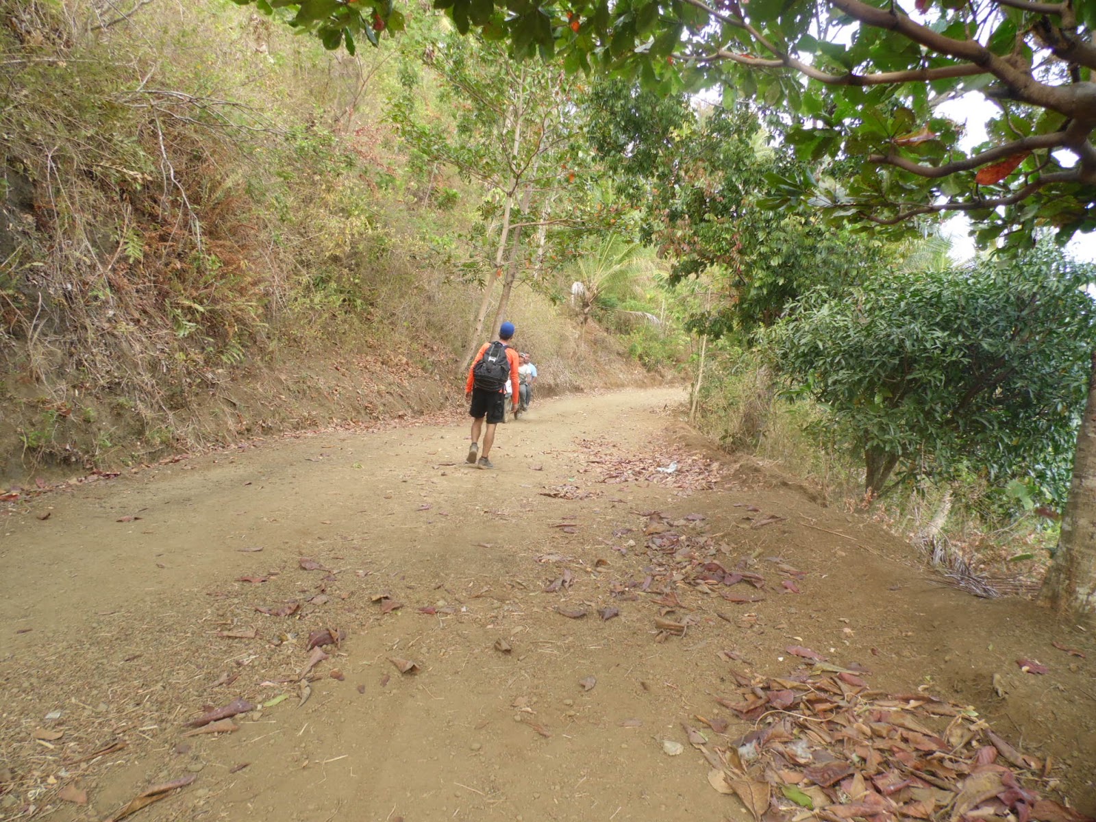
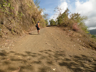
 From the first corner is the start of the station of the cross and so on up to the summit


Just within the last three Stations of the Cross are diversion paths to at least distribute the crowd since the crowd will stay in this areas.


the diversion path that leads to the terrace where the mass is held


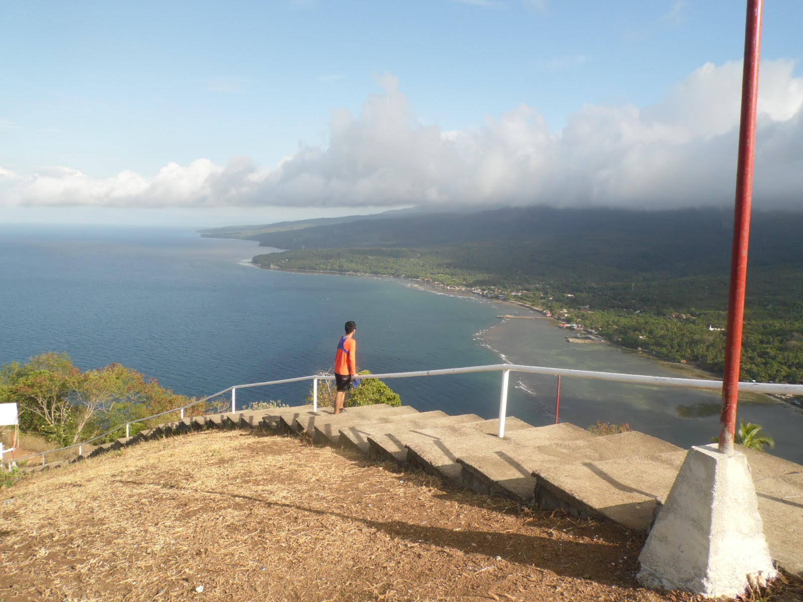
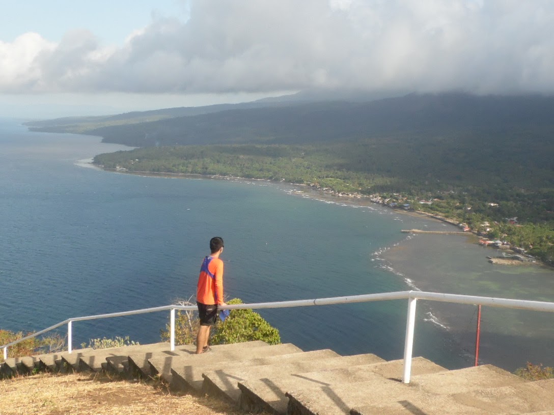
The view here gets very spectacular as I can see an overlooking view of the east side of the sea, coast and mountains of Talisayan, Misamis Oriental.


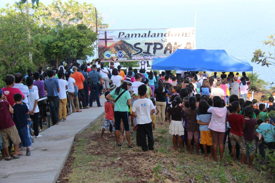
The holy mass held during the lenten season


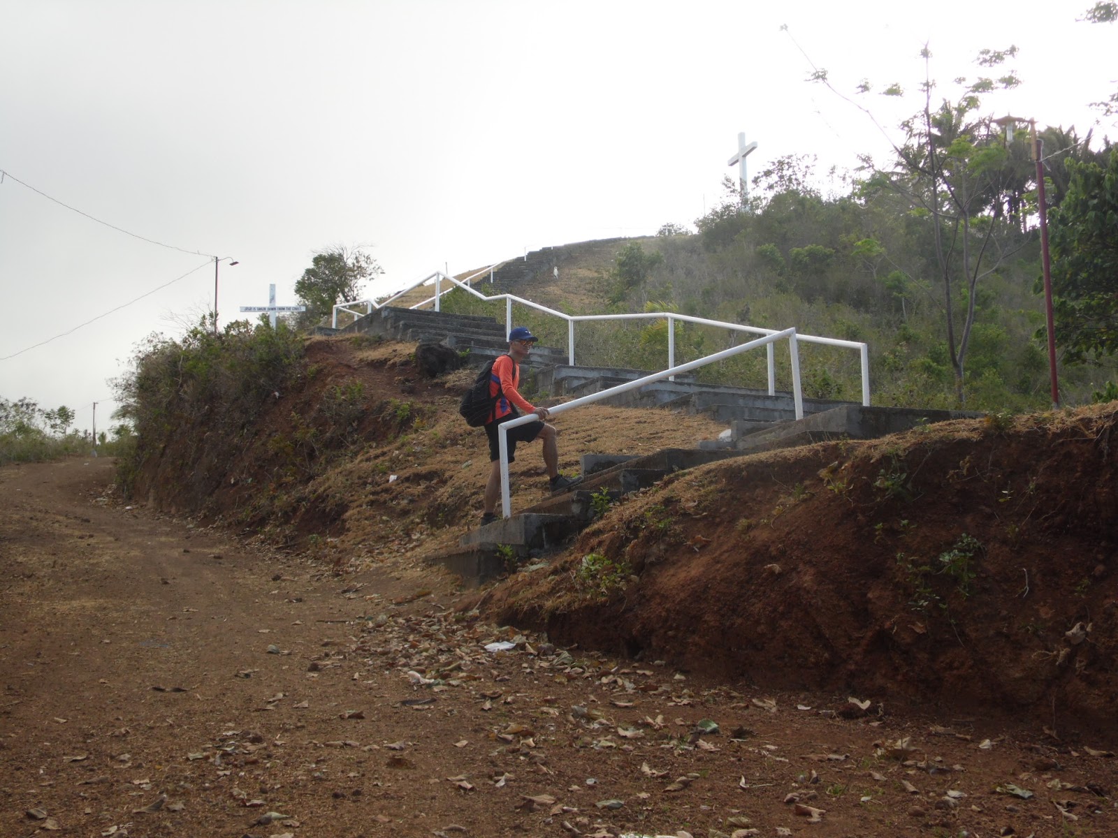
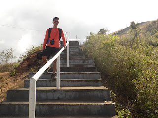
Before reaching the  13th station of the cross comes the concrete stairway all the way up to the last station of the cross.


Concrete stairs were placed because the trail gets steep and it leads to the big cross which is the last station. I can also see the beautiful scene of the area. It simply is marvelous.


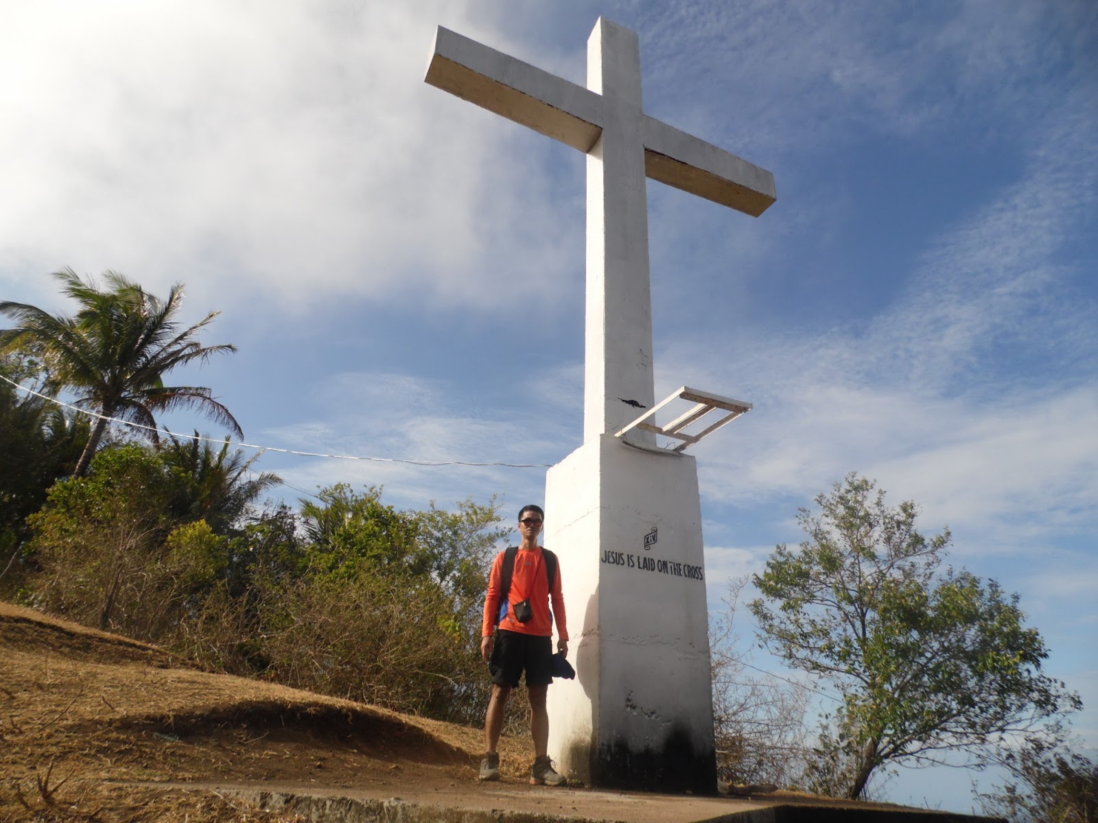
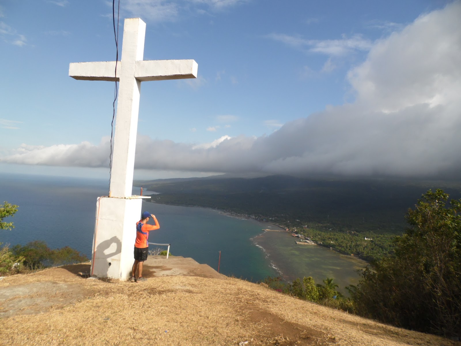
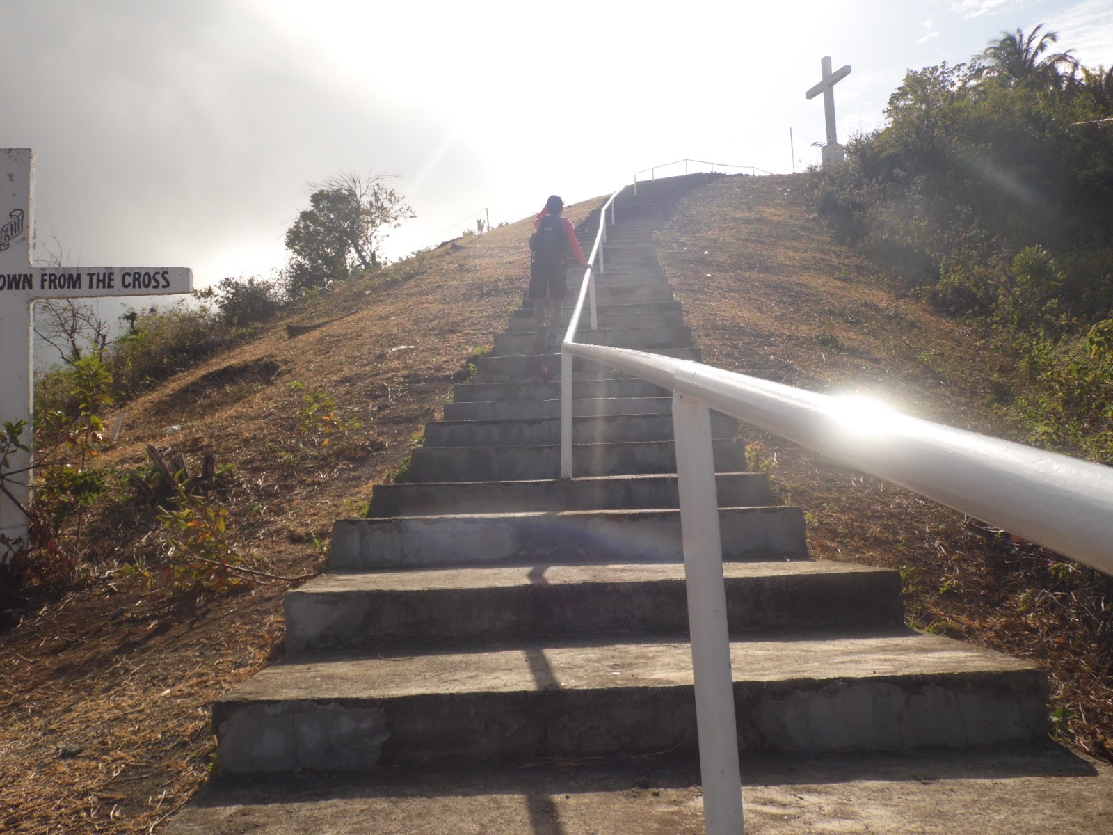
Until I reached the big cross; the last station. The concrete stairs leads here.
Other options in enjoying Sipaka heights is watching the sunrise and sunset.
I never get to experience the sunrise and sunset in this time because i arrived here by afternoon and i have to travel back to my hometown. So i don't have time to wait for the sunset or sunrise.


How to get here:

from Cagayan de Oro, you can ride a bus bound for Butuan or Gingoog and drop by at the                 intersection. Fare is more or less 100php . But if you are not familiar with the intersection since         it is small you might find it hard to notice it while riding the bus. The best way is to ride a bus           bound for Balingoan and drop at the Balingoan terminal. Then ride a motorcycle with sidecar             and tell the driver to drop off at Sipaka Heights intersection or you  can negotiate the driver to           take you all the way to the Sipaka heights jump off and add additional fare. The fare for the                 motorcycle with sidecar is 7-8 php and 10-15 php if the driver takes you all the way to the jump         off.


Sunday, August 11, 2013

Mt. Capistrano: by the rocks


I have an odd feeling about on this day. I have planned this hike for a long time but its as if I feel so weak and my mind was frozen when I woke up on this morning. Being as planned I still go for it. I woke up, prepared my things and went into the terminal, like I have no feeling of excitement. Maybe that’s why I never got to travel early. All I know is that I took a bus and I arrived in bukidnon. It was when that I saw the mountain while I was riding on a hired motorcycle(habal-habal) that my excitement leveled up.


Mt. Capistrano is located in Sitio Binalbagan, Barangay Simaya, Malaybalay City. The mountain stands in the middle of a wide plain. Its like a tower in the middle of a football field where you can see a 360 degrees view in its surrounding barangays when you are in the summit.
                       
The drop off point in Sitio Binalbagan. Just barely before reaching the Elementary School. When you arrive at the sitio, you can just ask the locals there. The starting point is just beside the main road.


Just a little walk from the drop point while I was following the trail, I was surprised to see that there is are concrete stairs. I never expected to see something like this. Not in here.


Just a little walk from the drop point while I was following the trail, I was surprised to see that there is a concrete stairway. I never expected to see something like this. Not in here. I am now on the foot of the mountain.

Mt. Musuan on extreme left and Kalatungan range on the right


After the concrete stairs is where the true adventure begins. This is what I meant for adventure: where you are clinging on grass on a steep slope, where you have to secure your foot on a hole to step in. This is fun. Not with the comfort of concrete stairs.


I have to cling on to the tree to catch my breath. It’s good to see that they have trimmed the cogon grass on the way through otherwise it would be a very spiky pass.

Oh there it is! .It’s my favorite, the spiky cogon grass and its getting thicker. I have to wear my arm protection. This is the grass section of the trail.


Halfway through the summit, I stopped to look at the landscape as it gets grander and from where I stand I got the chance to see the main road where I have to magnify (zoom) my camera to look at the vehicles that look like miniatures.


                     At the end of the grass section is the start of the rocks and trees section.


In here, I can use my hands to share the weight in going up by holding on to the fallen trees.


                          Going further, the rocks just gets bigger and the vegetation thicker.


The trees and rocks were interrupted by this section, the small bamboo section. The local term for this bamboo is called bagakay where by myth is a good weapon to kill monsters or mythical figures like aswang or manananggal and the like. This section is like a small pass before reaching the summit but it is very important.
This section is what I can consider as refuge section because after this section is an all-out rock sections that I suspected  where most hikers get lost on the trail. Because the trail is not visible enough and most of the time you have to step on rocks and the only sign of the trail is the smudge of mud on the rocks. There are many reports of hikers getting lost and have to be rescued. During one of my climb I have met some hikers along the trail and they asked me if it is my first time because they have been warned that there are group of climbers who got lost several days before and the locals have to rescue them.

.


A good campsite upon reaching the summit.


      The views from the rocky summit. There are rocks everywhere. In all shapes and sizes.
The wide plains of rice fields divided into slabs. Rice production is the prime source of living in the area.


up here in the summit I can see a full view of the things and activities below.                        


                                                 The fishponds surrounded by the cornfields


While I was busy taking pictures at the big rock that I am standing in. there was something rustling in the leaves that’s getting my attention. I have noticed it when I arrived here but when I came closer it didn’t  bother  to go away. It just stayed on my back.Its like even taking a pose for the camera. So I took the gesture to take the picture.ha ha.


   There are rocks that form with gaps and holes like these which are very useful shelters.


                        I saw these daisies in the summit growing among the rocks. Few flowers like these survive with these kind of environment.


The big platform of rock that’s been eroded with the combination of  extreme heat, rain and air. I can see from here the 360 degrees view of the landscape below. Kalatungan range can be seen on the far south.


Mt. Musuan as seen from Mt. Capistrano summit
Kitanglad range as seen from the summit of Mt. Capistrano

Kalatungan mountain range as seen from Mt. Capistrano


the two giants; Kalatungan range(left) and Kitanglad range(right) side by side

the ever annoying writings


Roaming around I came upon a campsite and rest for a while


And then I got to see these pile of liquor bottles and cans on one side left by some previous irresponsible climbers.


The weather this day is good. It’s gloomy and the sun was hidden by the clouds but no rain just misty. Due to time constraints after taking a rest I decided to go down.


I’ve had my share, I almost got lost during the descent. All I was doing during the ascent is following the trail. The trail then is visible but in going down it’s hard to notice. From the summit, I somehow got a wrong turn in getting down into the forest.
It is somewhere within this area here that I took the wrong turn.


I was like going in a loop and I couldn’t find any more trails. I kept familiarizing the place, looking for the rocks and trees that might help me recognize. My instinct tells me that I am not on the right trail. I was going back and forth on the trail trying to find out where part did I miss. There are times that I go beyond the trail and went on my own but still it leads me nowhere. All I can see are trees and rocks. I went back right from the start of the summit and tried to figure out where I missed. I saw a trail that’s barely visible and followed it with all the hopes that lead to one of the sections. It led me to the bamboo section. It was a picture of relief. Its really hard to notice the trail with all the combination of rocks and trees. It is a risky trade to scramble into the rocks and trees where I almost decided to do then.
When I arrived at the base I was very thirsty and my canteen ran out since there is no water station on the trail.
I asked for water in a nearby house and the people there are kind enough to extend their hospitality. Then I rode a motorcycle to ride my way to the town and waited for a bus to take my way home.

due to the number of hikers getting lost and the locals held responsible for the rescue, i will not recommend it for first timers.


How to get there:

      -- Ride a bus from cagayan de oro or davao bound for bukidnon and tell the driver to drop at Aglayan crossing along the highway. Aglayan is a barangay which is part of Malaybalay City. Fare is 115 pesos

     --from Aglayan crossing, ride a motorcycle to go to sitio Binalbagan. fare is 25-30 pesos. drop at the Elementary School and just ask the locals there for the entry point, it is just somewhere there.